Winter in Southern Ontario provides many challenges. In this post we’ll explore the more common winter weather systems found in the region.
### Colorado Low
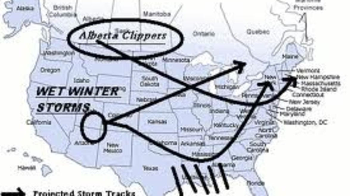
A Colorado Low is a low pressure storm that moves from South to Northeast, picking up moisture along the way. Typically brings heavy snow.
### Alberta Clipper
A fast moving, low pressure storm. Usually very cold and windy and will trigger lake effects snow in the Great Lakes region.
### Nor’easter
A low pressure storm of converging air masses that passes up the Atlantic Seaboard. A Nor’easter can cause severe flooding, hurricane force winds and blizzard conditions
## Lake Effect? Snow Belt?
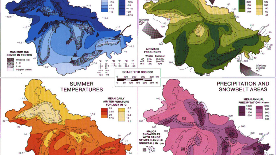
The **snowbelt** describes regions near the Great Lakes in North America where heavy snowfall in the form of lake-effect snow is particularly common, principally off the eastern and southern shores. Snowbelt and Lake effect snow can create snowsqualls and persistently cloudy skies.
Area’s of higher elevation will also get more snow – which is why Waterloo will typically receive more snow than Cambridge.
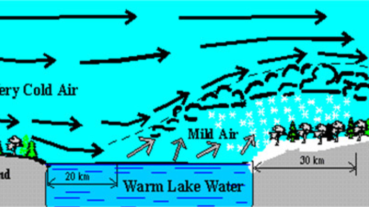
**Lake effect** snow is a forecast challenge and ***very*** hard to predict. It’s created by Arctic winds blowing across relatively warm water, taking up moisture that later precipitates as snow when the air moves over land and cools. If the Arctic wind comes from the East, we can see accumulation anywhere from 1 to 120 cms in a single storm.
[*Next post: Operations 101*](https://gelderman.com/blog/95/the-condo-corporation-vs-winter-weather-part-ii-operations-101)


