Weather Update – Severe wind chill expected this morning and tonight into Friday morning – Halton, Peel, Hamilton-Wentworth, Wellington and Waterloo Regions.
Environment Canada has issued a wind chill warning for Halton, Peel, Hamilton Wentworth, Wellington and Waterloo regions. Frigid temperatures combined with the wind chill factor could see temperatures plunge to between -30C and -40C Thursday and Friday, Environment Canada said.
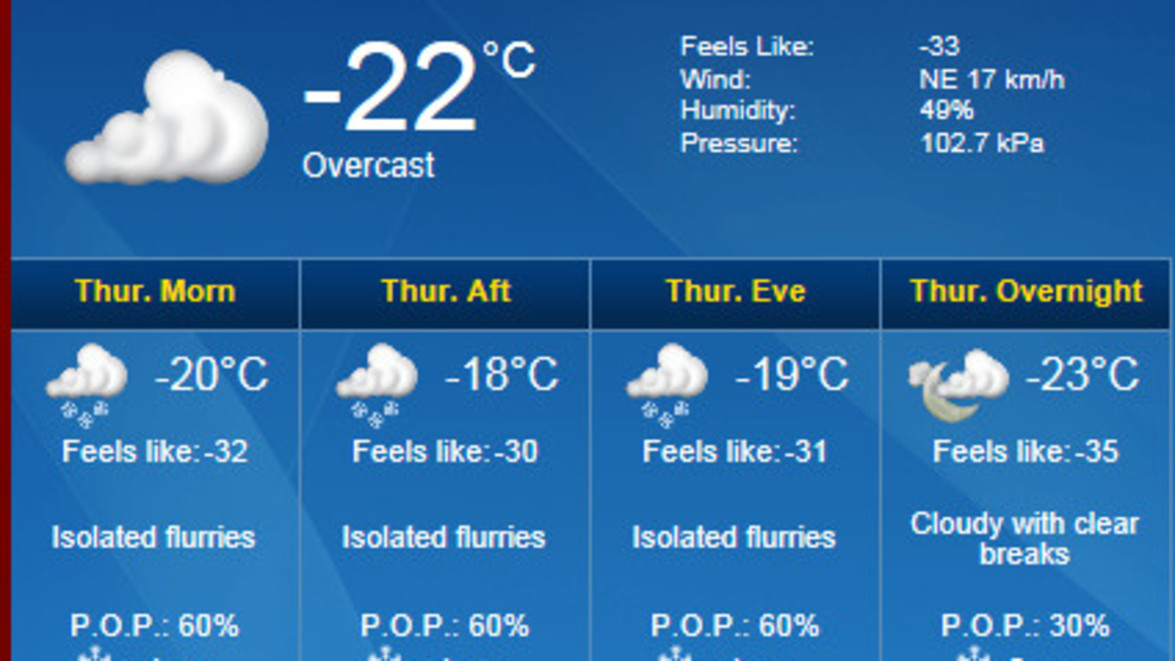
Bitterly cold Arctic air has established itself across Southern and Eastern Ontario. As a result, temperatures have dropped to minus 20 to minus 30 degrees. In addition a low pressure system near the Lower Great Lakes continues to generate moderate northeasterly winds today. The combination of winds and Arctic air is expected to produce severe wind chill values ranging from minus 30 to minus 40 early this morning and then quite likely again tonight and into Friday morning.
Exposed skin can freeze in as little as 10 minutes in temperatures of -28C and below. It is advised to dress warmly and cover any exposed skin as much as possible when heading outdoors: dress in warm layers, including a wind-resistant outer layer, and wear a hat, mittens and a scarf to cover exposed skin.
Don’t forget your pets! In the face of frigid temperatures, pet owners need to take extra measures. Assessing how long to let pets stay outdoors should be based on numerous factors including the animal’s breed, coat type, general health, and age.
Please note: salting & de-icing is ineffective in temperatures below -10C, and will not melt snow or ice. Please show caution on sidewalks and roads!
Snow Fall Warning – Hamilton Only
Environment Canada has issues a snow fall warning for Hamilton only, calling for snow fall amounts of 10 to 20 cm. A low pressure system tracking south of the Lower Great Lakes is generating moderate northeasterly flow off Lake Ontario resulting in hazardous winter weather conditions. Additional snowfall amounts of 10 to 20 cm are possible before the system moves out of the area. The combination of snow and local blowing snow is also expected to result in poor visibilities as low as 400 metres.
Operations Update:
We are keeping an eye on the snow fall. Once accumulation reaches 5 cm (2”) our snow removal crews will begin to cycle through our properties to open up major entrances and roadways with the use of plows to allow traffic flow and access by emergency vehicles. Once adequate plowing and clearing has been done to maintain safe and open conditions, the salt trucks will then be dispatched to required properties. Once the snow has ceased to fall, we will then complete all driveways, walkways and throughways based on your contract specifications.
Wind and drifting snow will create a discrepancy of amounts of snow between properties and within different areas of properties.
Once the storm tapers off we will return for a final clean up, salt trucks will be dispatched to required properties and we will then complete all driveways, walkways and throughways based on your contract specifications.


